Center For Spatial Planning Analytics and Visualization
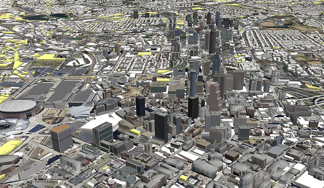
The Center for Spatial Planning Analytics and Visualization, formerly the Center for Geographic Information Systems, is a leader in the development and application of geo-spatial technologies for nearly 20 years. With a strong track record of interdisciplinary research collaborations at Georgia Tech and across the nation, the Center has helped local, state, and national governments, not-for-profits, and private enterprises in planning, maintaining, and evaluating critical infrastructure for sustainable urban growth.
Director: Subhro Guhathakurta


